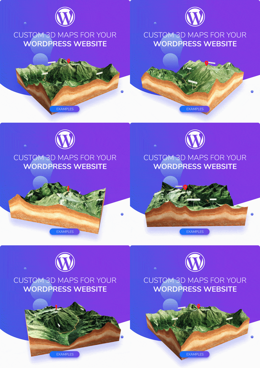
3D-Mapper Wordpress Plugin
3D-Mapper WordPress plugin is the easiest way to integrate and customize 3D maps on your WordPress website.
A 3D map is much more than a simple picture on your website! 3D Maps provide a realistic depth that enables your visitors to see into spaces, experience the movement of light and shadow, and gain a more complete understanding of environments and locations being shown.
This better understanding can be used by the viewers to estimate distances and geographic conditions more precisely. With location labels, markers and your own GPS tracks, a 3D map on your website can become an awesome experience and arouse greater interest of your visitors.
Present locations as 3D maps – animated, interactive, editable. All dead easy but accurate like a pro!
The 3D-Mapper plug-in for Wordpress helps you, whether you are a beginner or an experienced web designer, to easily create a custom 3D maps and add them to your own website – all without any code!
With just one click you can import the 3D maps into your WordPress website. The maps still contain all the settings that you previously saved in the editor. However, you can change all parameters (except labels and pins) with the plugin at any time and adapt them to the website.
How to add 3D Maps to your WordPress website
With the 3D-Mapper WordPress plugin you can add your own 3D map to your WordPress website in just a few steps:
- Download the plugin from Codecanyon
- Upload the plugin to your WordPress installation
- Import the session or your own images
- Adapt the map to your needs
- Add the map shortcode to your website
Done!
3D-Mapper Features
- Several search options
- gpx file import (.gpx and .kml)
- Different map tile sets (OpenStreetMap, OpenTopoMap, Outdoor, Satellite, Satellite + Streets)
Map Editor Features
- Map height
- Map rotation animation
- Subdivision level
- 115+Marker and pins
- Popup function with text, image, and link
- Water level
- Light settings
- Texture editor
- 14 edge textures or custom color
- 8 Skybox sets or custom color
Free Map Credits
Along with the WordPress plugin you will get 15 map credits to create your own 3D maps with 3D-Mapper.com. That equates to a value of $ 30. So, you actually get the plugin for free!
The credits can be redeemed by using the Envato purchase code on 3D-Mapper.com. Accordingly, you can buy 15 customized maps with these credits.
NOTE: You can create as many maps as you want. Just the final map must be purchased with one credit in order to use it with the WordPrress plugin.
These 15 free credits can be used for maps both with private or commercial purpose. But as soon as you want to use our data (or 3D maps created from it) for commercial purposes, you must purchase a commercial license for each map set. It can easily be ordered through our website.
See prices here.
WordPress Plugin features
- One-click maps import
- Edit all map features
- Embed maps via shortcode
- Use your own textures
- Use high-res textures
- Set canvas size
- Set background transparent
- Add your own background image or color
- Disable zoom & tilt
- Hide map edges
- Add overlays: headline, subline and button
Additional applications
Of course, the 3D maps can also be used in other ways. Once you have purchased a 3D map, you can download it as a 3D file (glTF) and import it into many 3D apps (e.g. Blender or Unreal Engine). It’s also possible to download the 3D map as STL or OBJ files to 3D print them. Also high-res data is available for each map. This allows you to swap out the default web-optimized maps if needed.
Important pre-sale notes
The source data is a digital terrain model, which represents the bare ground surface, excluding buildings and plants. Buildings are not displayed as an elevation on the 3D map.
Generally there is no guarantee of availability and quality of the map source data.
Use of Maps
If you have your own data sets available, consisting of a heightmap and a texture, you are of course allowed to use them for commercial projects as well – as long as you own all rights for the map material.
Would you like to use data sets from the 3D-Mapper location browser, we ask you to necessarily follow our
Terms of Use. Here’s a summary:
Basically, there is an attribution required for the map material, if you use and publish the data set for private or commercial projects. This means that an attribution should be made in a clearly visible textual description in the immediate vicinity of the map. For detailed information, please read the instructions and our Terms of Use.
Item Support
If you are reporting an issue:
- give us as much information as possible (used web browser, used WordPress version)
- tell us what exactly you have done
- screenshots are helpful
- videos are very helpful (try this free app)
